New to NWSGS? You're welcome at our meetings.
Everyone is welcome to register for NWSGS meetings. For added Zoom security, we ask each registrant to have either a free Guest account or a Paid membership on file before registering.
Our Free Guest account lets you register for meetings 14 days in advance.
Paid members receive additional benefits, including 30 day advanced registration, access to speaker handouts, video replays of meeting when permitted, members-only content on our website, ability to customize some email communications, and access to our newsletter, Notes from the Northwest.
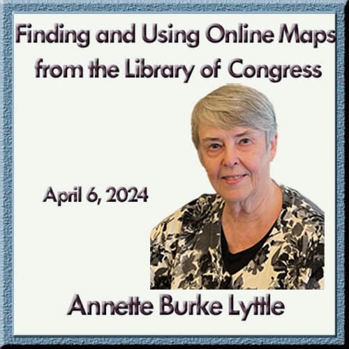
Annette Burke Lyttle — Maps Galore: Finding and Using Online Maps from the Library of Congress
Presentation Description
Maps are important resources for our genealogical research. They can place our ancestors on a particular ground at a particular time and give us clues about how they lived and worked. Maps can help us understand who their neighbors were and how far they had to travel for goods, services, and activities. They can allow us to go and stand on their land or in front of their houses. And maps can help us understand migration and also whether a new record we uncover really belongs to our ancestors. The Library of Congress has over 435,000 maps, of which 56,350 are currently available online. Learn what this treasure trove contains and how to find maps useful for your research.
Meeting Summary
- Members Helping Members: Members shared several useful research and learning leads, including a recommended Jamestown lecture series, upcoming webinar marathons, AI genealogy resources, and ways to use FamilySearch Relative Finder and RootsTech connections to collaborate with other researchers.
- Website update: Howard demonstrated new NWSGS website features for paid members, including enhanced meeting and SIG video archive pages with AI-generated summaries, presenter information, handouts, and discussion group tools to help members continue collaborating between meetings.
- Why maps matter: Annette showed how maps can place ancestors in a specific place and time, reveal neighbors, churches, schools, roads, land features, and migration patterns, and help determine whether a record likely belongs to the right person.
- Library of Congress map tools: She explained two main ways to work with the Library of Congress map site: browse map collections or search by location, date, format, collection, and online availability.
- Wide range of map types: Examples included World War II military situation maps, Civil War battlefield maps, bird’s-eye and panoramic town views, topographic and plat maps, Sanborn fire insurance maps, county atlases, and other specialized collections useful for family history.
- Practical genealogy uses: The presentation showed how maps can help identify ancestral neighborhoods, nearby churches and schools, military locations, land descriptions, surveyed townships and sections, and the local setting in which families lived and worked.
- Research method takeaway: Annette emphasized that maps often require supporting tools or background knowledge to interpret correctly, such as military map symbols, land survey systems, and comparison with modern tools like Google Maps and Street View.
- Extra member value: The handout adds a strong list of Library of Congress links plus additional map and genealogy resources, making the replay especially useful for anyone who wants to try these techniques right away.
Why To Watch
This replay is worth watching if you want practical ways to use maps to strengthen your genealogy research. Annette moves beyond general advice and shows how different map types can uncover neighborhoods, military service locations, land details, migration clues, and research leads you might otherwise miss. The handout adds even more value with direct Library of Congress links and a curated list of map-focused genealogy resources.
About the Presenter
She owns Heritage Detective, LLC, providing professional genealogical services in research, education, and writing. She speaks on a variety of genealogical topics at the national, state, and local levels and loves helping people uncover and share their family stories. She is the coordinator of the Fall Virtual Intermediate Foundations course for the Salt Lake Institute of Genealogy. Annette leads Best Practices Study Groups for a number of organizations, providing in-depth education on the genealogical research process in an interactive setting. She is president of the Association of Professional Genealogists and editor of The Florida Genealogist.